
Key Takeaways
1. NASA’s Mars Reconnaissance Orbiter (MRO) has been orbiting Mars for over 20 years and recently captured its 100,000th image.
2. The primary goal of the MRO is to create a detailed map of Mars using its HiRISE camera, aiding future human mission planning.
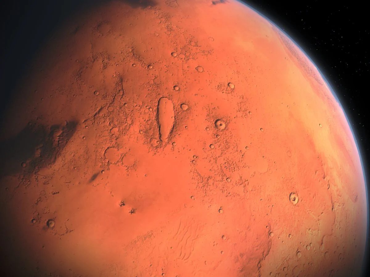
3. The 100,000th image features the Syrtis Major region and highlights the unique and colorful Martian landscape.
4. The images captured by MRO provide insights into the dynamics of the Martian surface, including dune movement and avalanches.
5. Researchers analyze these images for crucial information that will support upcoming space missions to Mars.
Mars has captivated human interest for many years, leading to many missions aimed to explore it. Currently, multiple probes are in orbit around the planet, while rovers traverse its landscape. Recently, NASA’s Mars Reconnaissance Orbiter (MRO) marked a significant milestone by capturing its 100,000th image of the intriguing red planet, showcasing stunning vistas.
A Long Journey in Space
This probe has been circling Mars for over two decades. Its primary objective is to create a detailed map of the Martian surface, aided by its incredible tool, the HiRISE camera. However, the purpose of these images extends beyond merely inspiring astronauts; they are essential in distinguishing various surface types and identifying potential landing zones as plans for human missions to Mars shape up.
Capturing Unique Landscapes
After more than 20 years in operation, the probe achieved the remarkable feat of obtaining its 100,000th photo, which is quite impressive. Taken on October 7, this image features the Syrtis Major region, situated around 80 kilometers from the Jezero crater. Additionally, the photo displays many dunes that showcase a range of colors. This scenery vastly differs from our Earthly landscapes and appears to exhibit constant movement.
Insights from the Experts
Leslie Tamppari, a scientist involved in the MRO project at NASA’s Jet Propulsion Laboratory in Southern California, shares insights on the significance of these findings:
“The HiRISE camera hasn’t just unveiled how distinct the Martian terrain is compared to Earth; it has also revealed the dynamics of that surface over time. We’ve observed dune fields migrating with the wind and avalanches rushing down steep cliffs.”
As a result, researchers meticulously examine these images, as they may hold vital information for upcoming space missions.
NASA Science
Source:
Link
Leave a Reply