
Key Takeaways
1. University of Maine scientists developed a tool using satellite data to identify optimal sites for oyster growth.
2. Luke Saindon successfully established his oyster farm by using satellite images to find ideal conditions for oysters.
3. A model was created to predict oyster growth based on satellite information, focusing on energy distribution for growth, survival, and reproduction.
4. The unique coastline of Maine presents challenges for oyster farmers, making satellite data particularly valuable for site selection.
5. The effectiveness of the model was confirmed through seven years of field data, and plans are underway for an online platform to apply it in oyster farming.
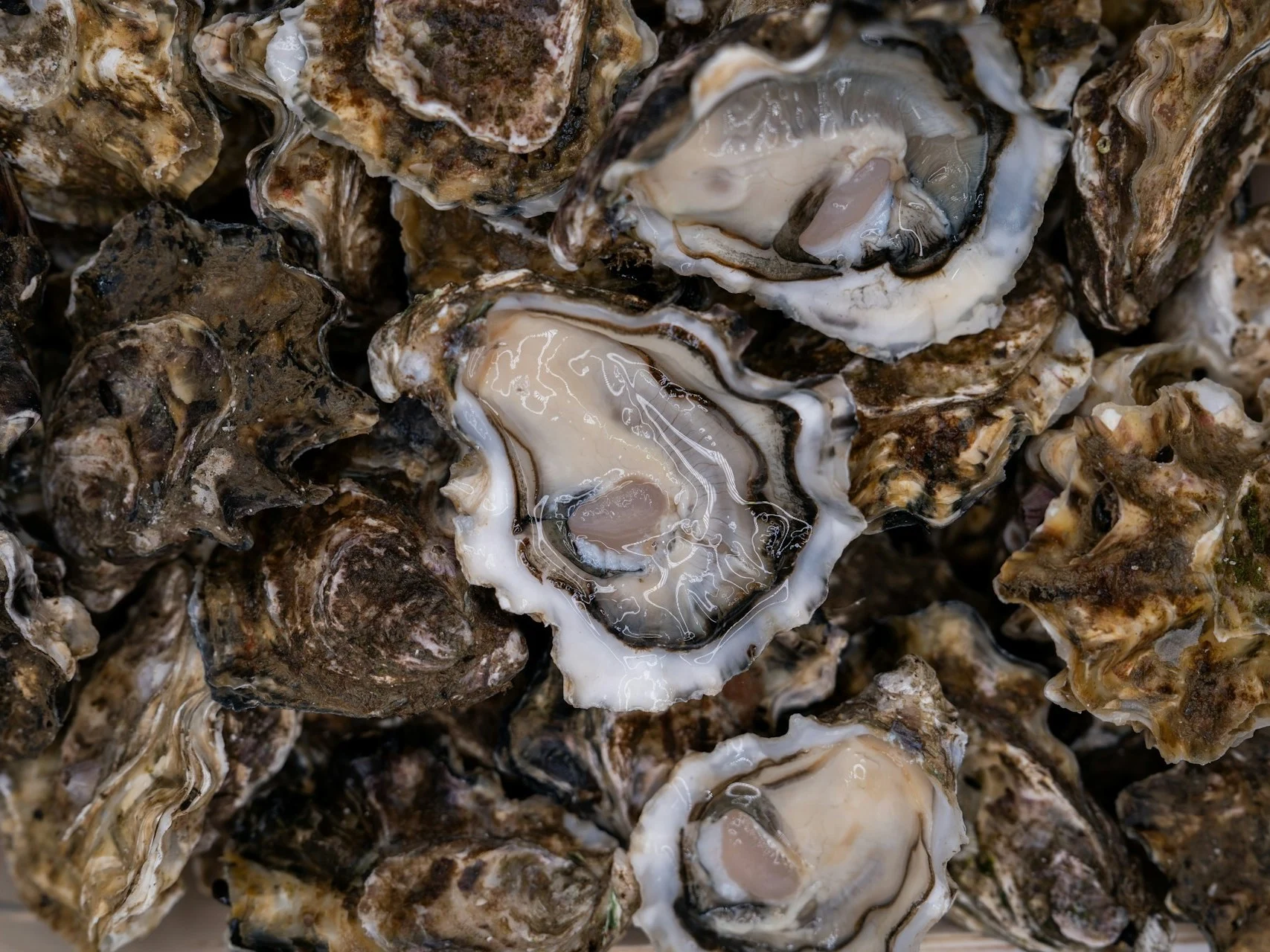
University of Maine scientists have created a tool for selecting sites. This tool uses data from satellites to figure out the best spots for oyster growth. Luke Saindon, who runs The World is Your Oyster farm in Wiscasset, Maine, looked at the satellite images to find areas where temperatures and food supplies were ideal for oysters. Following the guidance from the maps, he established his farm close to his residence. Now, four years later, his oyster farm continues to flourish.
New Model for Growth Prediction
Next, the researchers built a model to predict oyster growth using the same method. They gathered information from Landsat and the European Sentinel-2 satellites. This model focuses on how oysters distribute their energy among growth, survival, and reproduction efforts.
Importance of Satellite Data
For a state like Maine, satellite information is particularly important. The coast of Maine features a mix of submerged valleys and rocky formations shaped by ancient glaciers. This unique coastline leads to significant changes in conditions over short distances, making it tricky for oyster farmers to choose the right sites.
The model created by the researchers could help tackle this challenge. It indicates where oysters are likely to grow more quickly and estimates the time needed for harvesting. This can lessen the financial risks that come with oyster farming.
The research team confirmed the model’s effectiveness by comparing it to seven years of field data. The results have been promising. They are now working on an online platform to implement the model in real-world oyster farming practices.
NASA
Image source: Mitili Mitili
Source:
Link
Leave a Reply